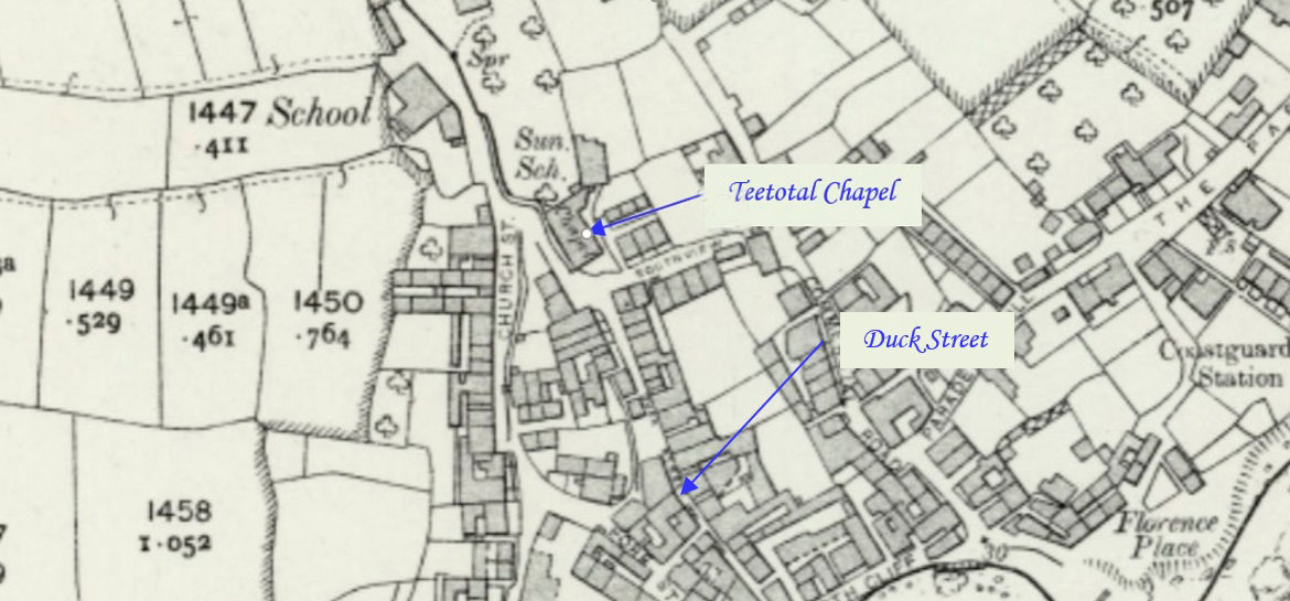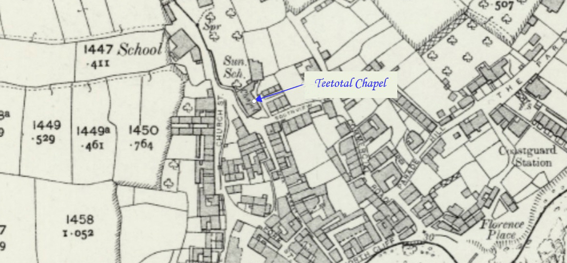
Mousehole is a village and fishing port 2.5 miles (4 km) south of Penzance on the shore of Mount’s Bay. Jo Lewis and Tony Mansell have compiled this profile of Mousehole Teetotal Methodist. John Wesley first came to Mousehole in 1766, then in 1782 and finally in 1785 when he writes in his journal, “About…Continue Reading “Mapping Methodism – Mousehole Teetotal Wesleyan Methodist Chapel”