Breage is a village three miles (5 km) west of Helston. This profile of Breage UMFC has been compiled by Jo Lewis and Tony Mansell. John Wesley, the great Methodist preacher, visited Breage in 1750 and many converted to Methodism. Chapels were built in the village, today only one remains open. John Wesley preached at…Continue Reading “Mapping Methodism – Breage United Methodist Free Church”
Coombe is approximately four miles (6 km) west of St Austell in the civil parish of St Stepen-in-Brannel. This profile of Coombe (St Stephen-in-Brannel) Wesleyan Chapel has been compiled by Jo Lewis and Tony Mansell. Sunday 25th of September 1757: John Wesley preached “near a lone house, on the side of a barren mountain, but…Continue Reading “Mapping Methodism – Coombe (St Stephen-in-Brannel) Wesleyan Chapel”
Coombe is approximately four miles (6 km) west of St Austell in the civil parish of St Stepen-in-Brannel. This profile of Coombe (St Stephen-in-Brannel) United Methodist Free Church has been compiled by Jo Lewis and Tony Mansell. This building can be seen on the left driving up the high street West to East. Formerly a…Continue Reading “Mapping Methodism – Coombe (St Stephen-in-Brannel) Wesleyan / UMFC / UM”
This profile of Penzance High Street Bible Christian Chapel has been compiled by Suzanne Trythall. The Penzance church of the Bryanites seems to have begun meeting in the home of a Mary Woolcock in Alverton. They then acquired in 1858 the use of a former Wesleyan chapel in the St Clare district. By the…Continue Reading “Mapping Methodism – Penzance High Street Bible Christian Chapel”
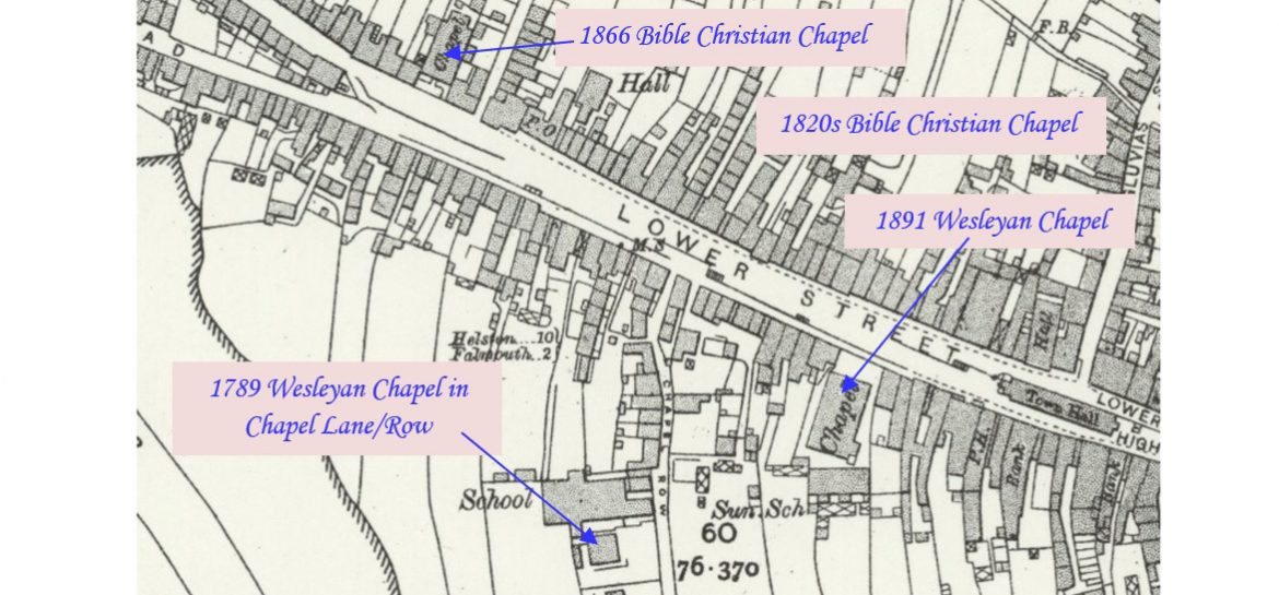
Penryn is a town on the Penryn River about one mile northwest of Falmouth. This profile of Penryn Wesleyan Chapel has been compiled by Jo Lewis and Tony Mansell. The Methodists were active in Penryn from the 1740s. John Wesley visited between 1748 and 1770. 1755: They met in a room at the back…Continue Reading “Mapping Methodism – Penryn Wesleyan Chapel”
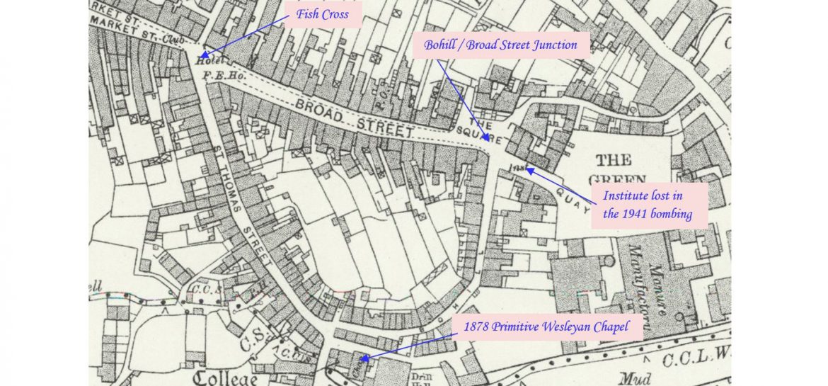
Penryn is a town on the Penryn River about one mile northwest of Falmouth. This profile of Penryn Primitive Wesleyan Chapel has been compiled by Jo Lewis and Tony Mansell. Penryn had had a longstanding, Primitive Methodist society which met in a rented chapel. This is the chapel recorded in the return from Penryn Primitive…Continue Reading “Mapping Methodism – Penryn Primitive Wesleyan Chapel”


