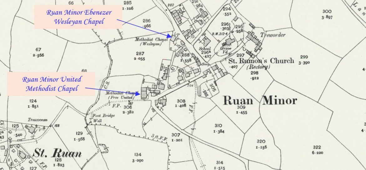
Ruan Minor is a tiny village and former parish located on the Lizard peninsula. This profile of Ruan Minor Wesleyan Chapel has been compiled by Terry Moyle. 1970s sketch of 1886 chapel First chapel built before 1828? Wesleyan Preaching Plans 1828 and 1833 – Sunday evening services 1837-1900 Baptisms – 70 Families associated with baptisms…Continue Reading “Mapping Methodism – Ruan Minor Wesleyan Chapel”
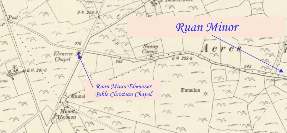
Ruan Minor is a tiny village and former parish located on the Lizard peninsula. This profile of Ruan Minor Ebenezer Bible Christian Chapel has been compiled by Terry Moyle. 1970s sketch 1970s photograph Built before 1840 Isolated location at the crossroads for routes to and from Lizard, Mullion, Ruan Major and Ruan Minor First…Continue Reading “Mapping Methodism – Ruan Minor Ebenezer Bible Christian Chapel”
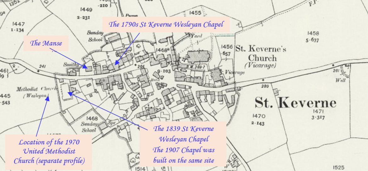
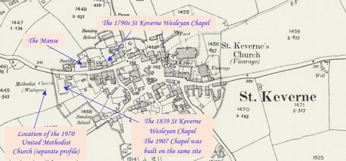
St Keverne is a village on The Lizard in Cornwall. This profile of St Keverne Wesleyan Chapel has been compiled by Terry Moyle. The First St Keverne Wesleyan Chapel Location of first chapel – opposite Back Lane and now the two houses are known as Chy Dew and An Chapel Koth (2 and 3…Continue Reading “Mapping Methodism – St Keverne Wesleyan Chapel”
St Keverne is a village on The Lizard in Cornwall. This profile of St Keverne Methodist Church has been compiled by Terry Moyle. Built 1970-1971 on land given by Mrs. Katie Coad in 1967. Next to the St. Keverne Methodist Chapel (1907 building). The need for a new hall to replace the outdated Ark…Continue Reading “Mapping Methodism – St Keverne Methodist Church”
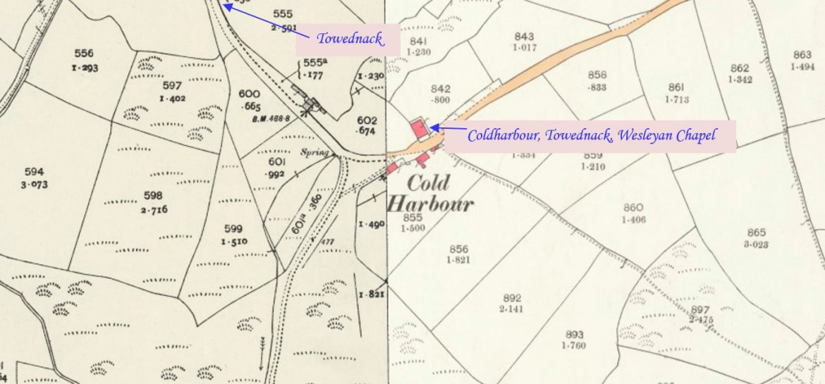
Towednack is a hamlet which has a church and had a chapel nearby which is called Towednack Wesleyan but was actually located at Coldharbour which is at a fork in the road to Towednack. In the 1868 Lake’s Parochial History it is called ‘Coldharbour Moor’. Towednack is a parish whose inhabitants were chiefly engaged in…Continue Reading “Mapping Methodism – Coldharbour, Towednack, Wesleyan Chapel”
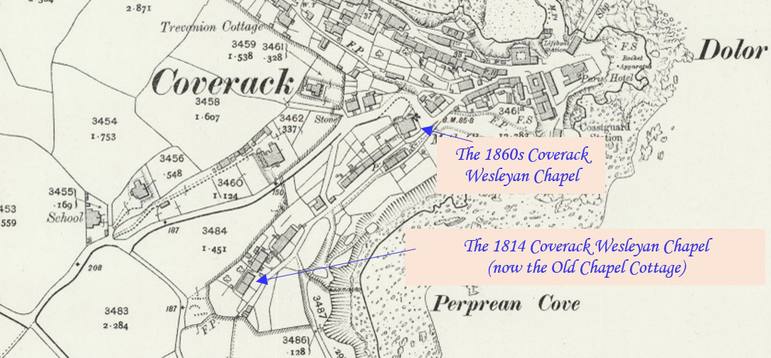
Coverack is a coastal village and fishing port in Cornwall, UK. It lies in the parish of St Keverne, on the east side of the Lizard peninsula about nine miles south of Falmouth. This profile of Coverack Wesleyan Chapel has been compiled by Terry Moyle. The First Coverack Wesleyan Chapel Society at Coverack in…Continue Reading “Mapping Methodism – Coverack Wesleyan Chapel”

