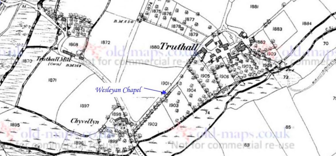
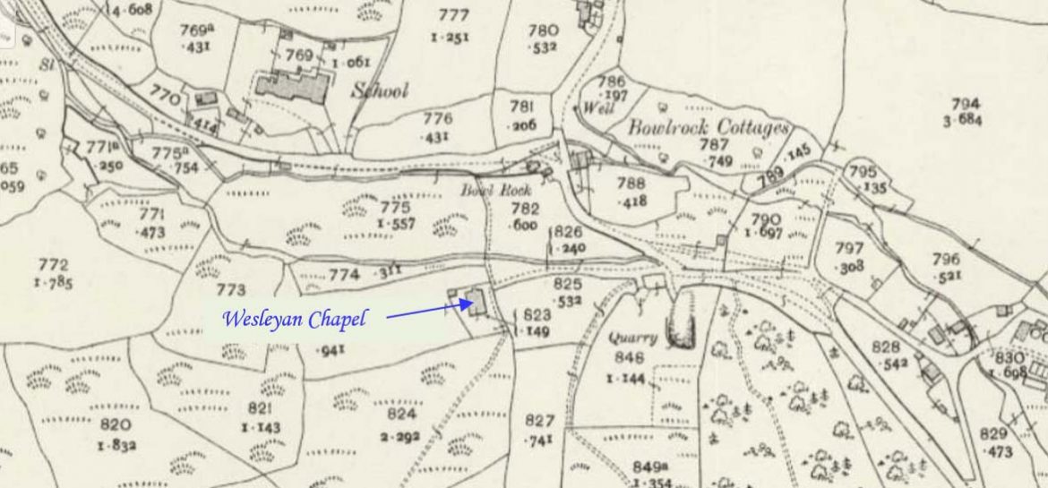
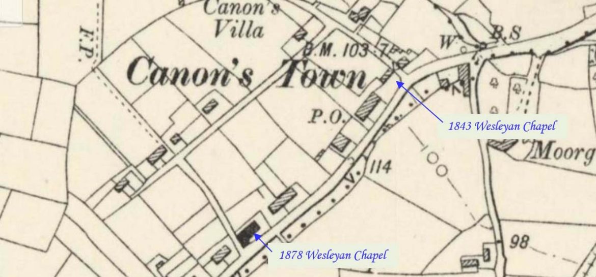
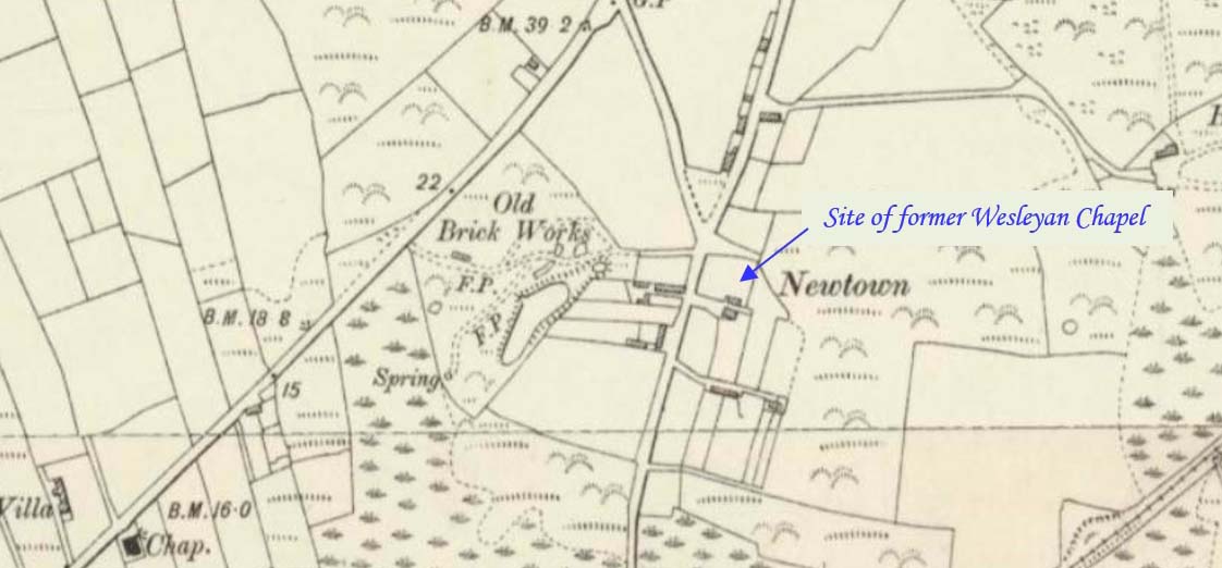
Lelant is on the west side of the Hayle Estuary about 2+1⁄2 miles (4.0 km) southeast of St Ives and one mile (1.6 km) west of Hayle. This profile of Lelant Primitive Wesleyan Chapel has been compiled by Jo Lewis and Tony Mansell.   The earliest written reference to a possible Methodist ‘chapel’ in Lelant is in…Continue Reading “Mapping Methodism – Lelant (Uny) Primitive Methodist Chapel”

Lelant is on the west side of the Hayle Estuary about 2+1⁄2 miles (4.0 km) southeast of St Ives and one mile (1.6 km) west of Hayle. This profile of Lelant Wesleyan Chapel has been compiled by Jo Lewis and Tony Mansell.   The earliest written reference to a possible Methodist ‘chapel’ in Lelant is in 1766….Continue Reading “Mapping Methodism – Lelant (Uny) (Trendreath) Wesleyan Chapel”

Perranuthnoe is a village in southwest Cornwall on the east side of Mount’s Bay approximately one mile (1.6 km) east of Marazion and four miles (6.5 km) east of Penzance. This profile of Perranuthnoe Wesleyan Chapel has been compiled by Jo Lewis and Tony Mansell.   A Wesleyan Methodist chapel is recorded on the 1st and 2nd Edition 1880 and…Continue Reading “Mapping Methodism – Perranuthnoe Wesleyan Chapel”

Angarrack is a village in west Cornwall, a mile to the east of Hayle. This profile of Angarrack Wesleyan Chapel has been compiled by Jo Lewis and Tony Mansell.   A Wesleyan Methodist chapel is recorded on the 1st and 2nd Editions of the 1:2500 OS maps and on the 1930’s revision.   7th August 1743: Charles…Continue Reading “Mapping Methodism – Angarrack Wesleyan Chapel”