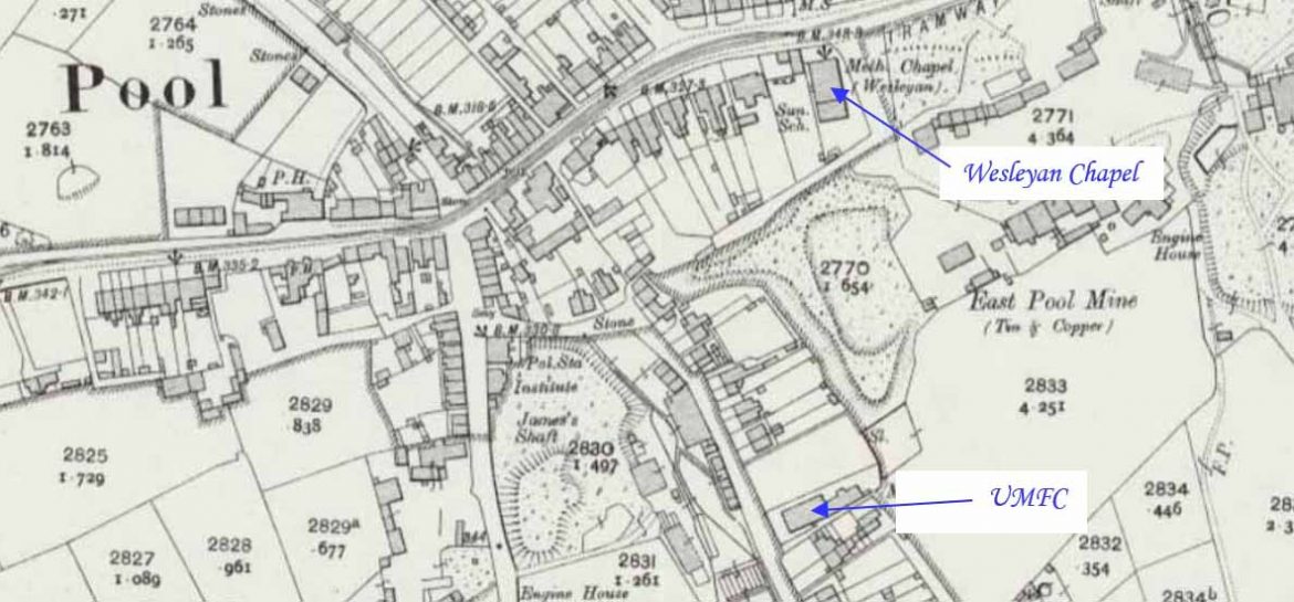
Pool is a community between Redruth and Camborne. This profile of Pool St Martin’s United Methodist Free Church has been compiled by Jo Lewis and Tony Mansell. From Wilsons Way, turn into Carn Brea Lane just before the roundabout, follow this road as it turns right and the chapel is on the right. Free…Continue Reading “Mapping Methodism – Pool St Martin’s United Methodist Free Church”
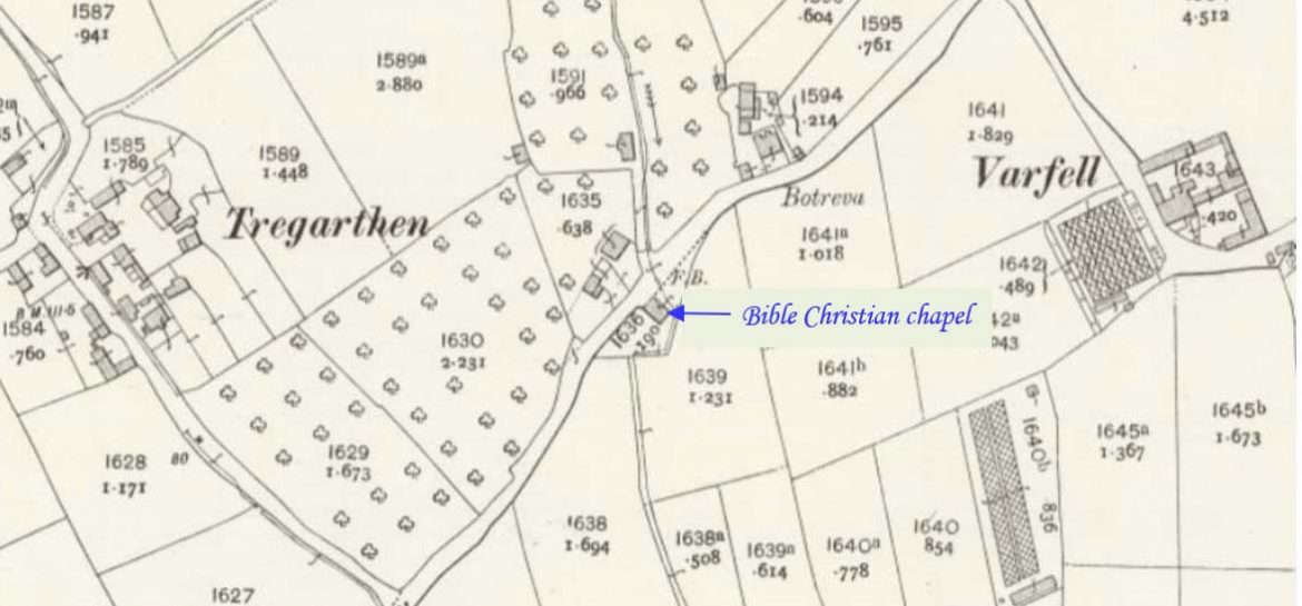
(Map: Cornwall Heritage Gateway) Tregarthen is to the west of Marazion. This profile of Tregarthen Bible Christian Chapel has been compiled by Jo Lewis and Tony Mansell. From the Long Rock roundabout, make your way north via Varfell Lane to Tregarthen. The Chapel was on the south side of the road and side by…Continue Reading “Mapping Methodism – Tregarthen (Batreva) Bible Christian Chapel (Near Ludgvan)”
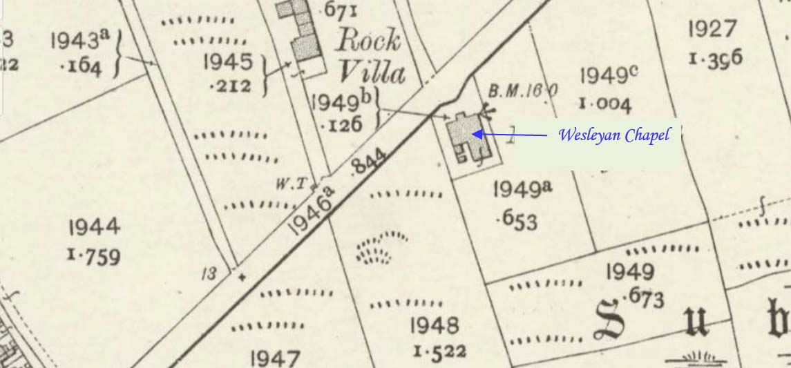
Long Rock is approximately 1 mile (1.6 km) east of Penzance and 1 mile (1.6 km) west of Marazion. This profile of Long Rock Wesleyan Chapel has been compiled by Jo Lewis and Tony Mansell. Long Rock (Tolverth) Chapel is located on the road that heads north-east from Long Rock itself to the A 30. Wayside…Continue Reading “Mapping Methodism – Long Rock (Tolverth) Wesleyan Chapel”
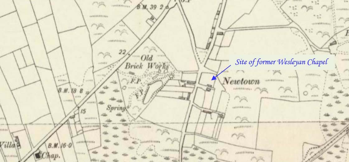
(Map: Cornwall Heritage Gateway) Newtown is west of Marazion on what is now the link road from the A30 to the railway coast line. This profile of Newtown Wesleyan Chapel has been compiled by Jo Lewis and Tony Mansell. The Wesleyan Chapel was on the east side of Newtown Lane in what is…Continue Reading “Mapping Methodism – Newtown Wesleyan Chapel”
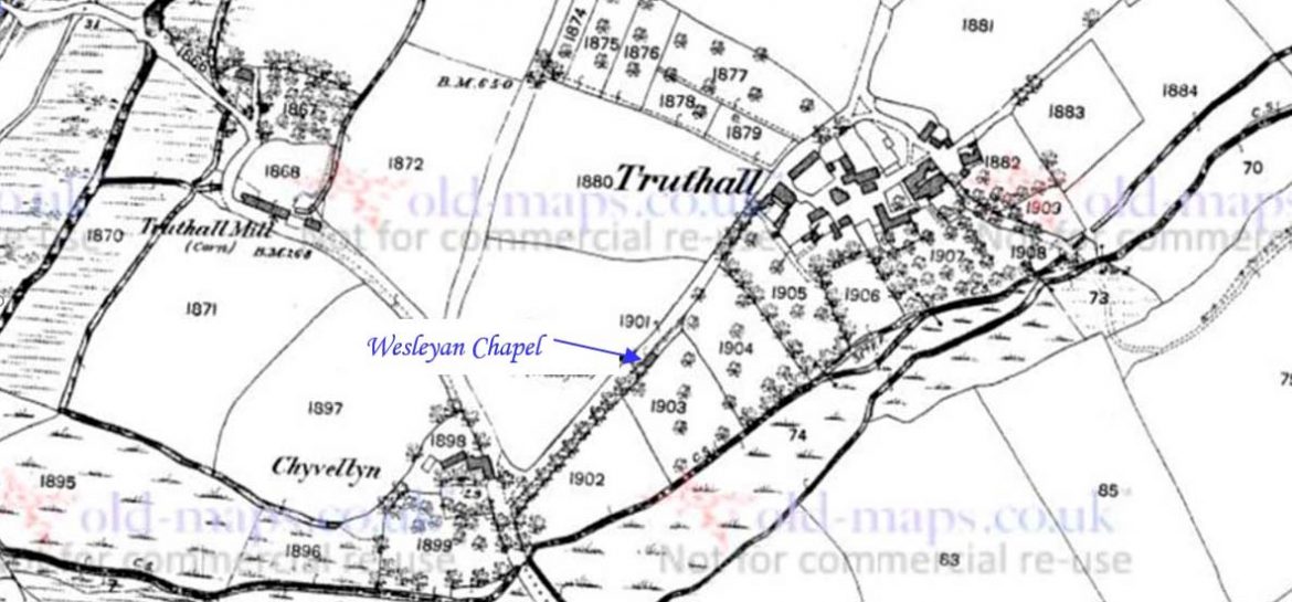
Truthwall is a hamlet southeast of Crowlas in the civil parish of Ludgvan. (Another settlement by the name of Truthwall is situated between St Just and Pendeen. This profile of Truthwall (Truthall) Wesleyan Chapel has been compiled by Jo Lewis and Tony Mansell. 394 and circling north on Gwallon Lane to go back under…Continue Reading “Mapping Methodism – Truthwall (Truthall) Wesleyan Chapel”
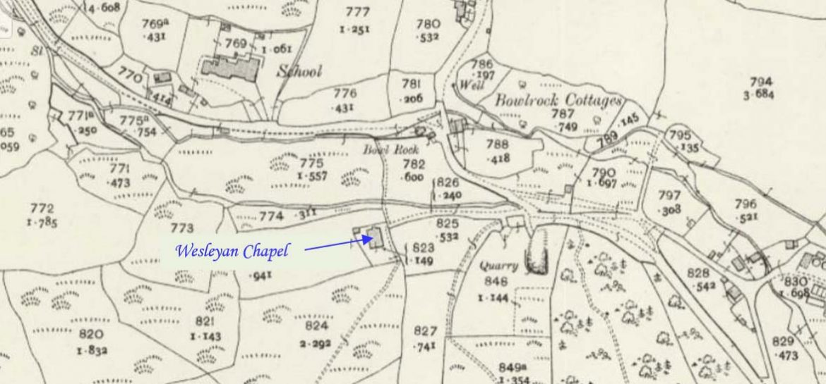
Lelant Down lies northwest of Canonstown. This profile of Lelant Downs Wesleyan Chapel has been compiled by Jo Lewis and Tony Mansell. The Wesleyan chapel is north of Lelant Downs village, at Bowl Rock. Methodist chapel, now converted to house. Probably mid C19. Granite rubble with granite moorstone dressings except for brick heads to…Continue Reading “Mapping Methodism – Lelant Downs Wesleyan Chapel”

