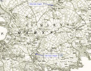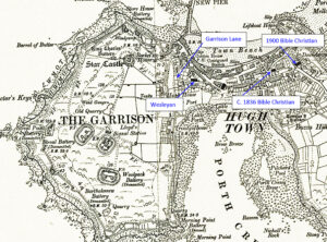
Map: https://maps.nls.uk/geo/explore/side-by-side/#zoom=10.4&lat=52.44811&lon=-3.07812&layers=6&right=ESRIWorld This profile of St Mary’s Bible Christian Chapel has been compiled by Jo Lewis and Tony Mansell The Bible Christian missionaries arrived in the islands in the 1820s and began preaching from the Bishop and Wolf Inn. These missionaries may have included Mary Ann Wherry one of the early female itinerant preachers of the…Continue Reading “Mapping Methodism – St Marys Isles of Scilly Bible Christian Chapels”