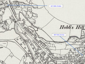
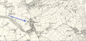
This profile or Polperro Bible Christian Chapel in The Coombe, has been compiled by Jo Lewis and Tony Mansell. 1837 Chapel on Talland Hill Nonconformist Chapel (19th Century to Unknown – 1837 AD) Bible Christian Chapel, now commercial premises. Opened by William O’Bryan, the founder of the Bible Christian movement. Local rubble and…Continue Reading “Mapping Methodism – Polperro Bible Christian Chapel”
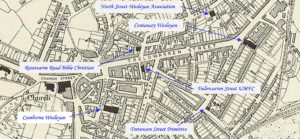
Camborne is a town in Cornwall. This profile of Camborne Wesleyan Chapel has been compiled by David Thomas. Camborne Wesley was always a chapel which was well attended and possessed a large number of willing workers who were ready to assist with events there. This photograph is part of a set of postcard images…Continue Reading “Mapping Methodism – Camborne Wesleyan Chapel”
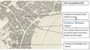
This profile for St Ives Primitive Methodist Chapel in Fore Street has been compiled by Val Thomas of St Ives Old Cornwall Society. Down’long St Ives is primarily a fishing and trading port with safe harbour. There were numerous mines for tin and copper up’long. St Ives Primitive Methodist Chapel is in the…Continue Reading “Mapping Methodism – St Ives Primitive Methodist Chapel, Fore Street (Ebenezers Chapel)”
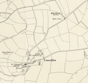
Lansallos is a village in the civil parish of Polperro in south Cornwall. It is situated between Polruan and Polperro, about five miles east of Fowey in Liskeard Registration District. Travelling north from Lansallos Churchtown and staying on the road past the campsite, the old chapel is on the left. This profile of Lansallos United…Continue Reading “Mapping Methodism – Lansallos United Methodist Free Church”
The location of the chapel on 1888 map Troon is a large village, 1.5 miles south-east of Camborne This profile of Troon Wesleyan Chapel has been compiled by Suzanne Trythall The earliest mention of places of worship in and around Troon indicate there were seven meeting houses, including Stennack and Copper Hill. A chapel…Continue Reading “Mapping Methodism – Troon Wesleyan Chapel”
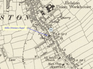
Helston is a town at the northern end of the Lizard Peninsula approximately 12 miles (19 km) east of Penzance and 9 miles (14 km) south-west of Falmouth. This profile of Helston Bible Christian Chapel (Meneage Street) has been compiled by Betty Pascoe.

