Mapping Methodism – Croft Michell (Michael / Mitchell) Wesleyan Chapel
Categories Mapping Methodism0 Comments
Croft Mitchell is a hamlet in the parish of Camborne, southeast of Troon. This profile of Croft Mitchell Wesleyan Chapel has been compiled by Jo Lewis and Tony Mansell.
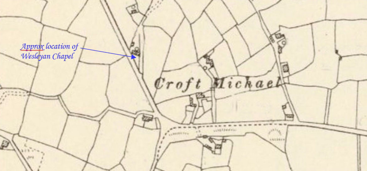
A Wesleyan Methodist chapel is recorded on the 1st Edition 1:2500 1880 OS Map at this location to the north of Croft Mitchell. By 1907 the chapel is no longer shown and has been demolished. (Heritage Gateway)
Location: taking the B3280 east from the B3297 and taking a right turn signposted to Troon, Beacon and Camborne. Following the road and then turn to the right, the chapel would have been at what was a fork in the road but is now the turn for a house.
Unknown build date.
1878: Appears on maps.
1907: No longer on maps but gone by 1907.
When New Road was built the building was lost and the site is the car park for the house seen from the road.
