
The chapel is located to the west of Rosemear, on the road to Helston. This profile of Bowgyhere UMFC has been compiled by Jo Lewis and Tony Mansell.
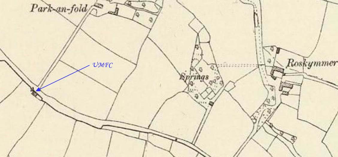
From the B3293 heading west from Rosevear, take the right turn signposted to Constantine and Gweek. There is a right turn (to Park-an-fold) opposite a sign saying Gweek and Penryn. Almost exactly where this sign is, was the site of a United Methodist Free Chapel. This is very likely the Bowgyhere Chapel, (Also referred to as a Wesleyan Association Chapel).
There was a chapel for the Wesleyan Methodists in Bowgyhere. (Genuki)
Pre-1825: Build date.
1857: The Wesleyan Methodist Association and the Wesleyan Reform Church amalgamated to become the United Methodist Free Churches
1881: MAWGAN. Bowgyhere Free Methodist Chapel has been recently renovated and now presents a pleasing appearance. It had become exceedingly dilapidated ; but limewash and plaster have worked wonders. (Cornishman – Thursday 24 March 1881)
1907: No longer appears as a chapel on map.