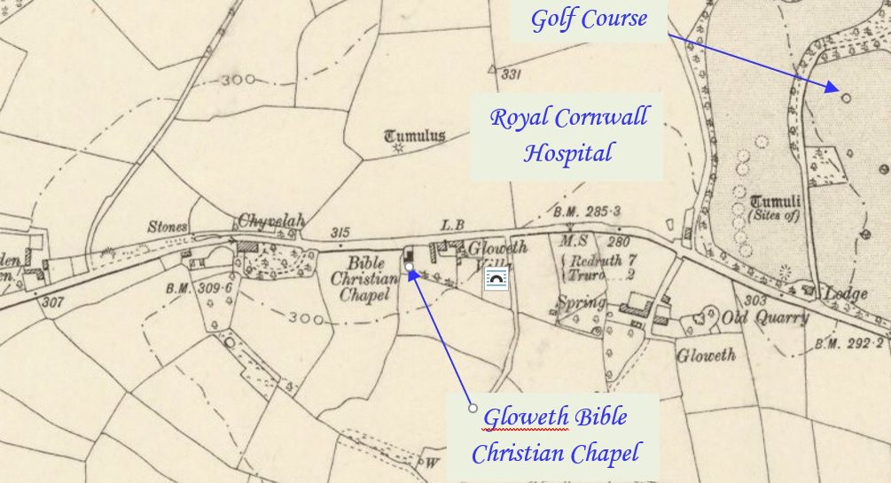
Gloweth was once a small community on the outskirts of Truro but developments, including the Royal Cornwall Hospital, Treliske, have now made it a city suburb. Gloweth Bible Christian chapel was built beside the road (A390 Tresawles Road) to Truro in an area now known as Treliske. It is now surrounded by Gloweth housing estate,…Continue Reading “Mapping Methodism – Gloweth Bible Christian Chapel”
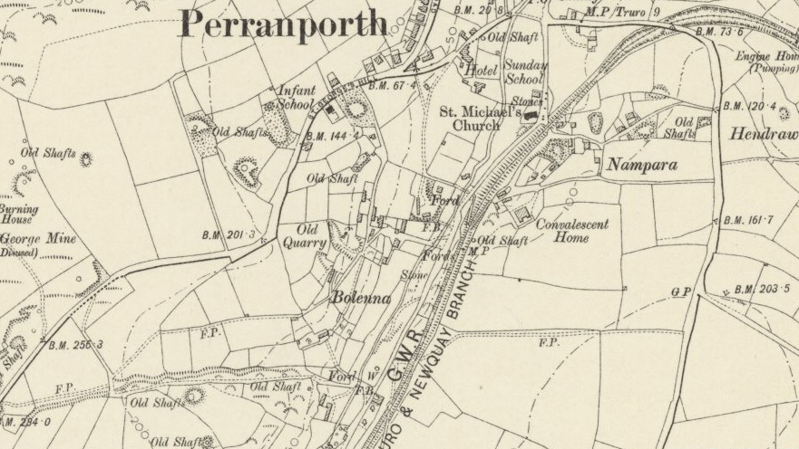
Perranporth is a seaside resort town on the north coast of Cornwall. It is a mile east of the St Agnes Heritage Coastline and around 8 miles south-west of Newquay. Perranporth and its 3 miles long beach face the Atlantic Ocean. The chapel location is unknown but could have been in Bolenna Lane. The material…Continue Reading “Mapping Methodism – Bolenna Primitive Methodist Chapel, Perranporth.”
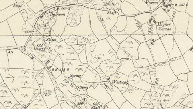
Balnoon was, at an earlier time, known as ‘Ballanoon’, which means mine on the down (bal an un). In 1852 Balnoon mine was predicted to be one of the most promising mines in the Penzance district for 1853, along with West Ding Dong and Speedwell. The OS map surveyed 1877; published 1886 below shows its…Continue Reading “Mapping Methodism – Balnoon (Vorvas) Primitive Methodist Chapel”
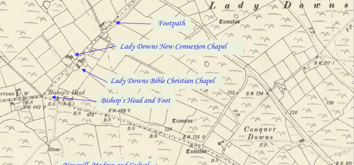
Lady Downs is an area between Newmill and Zennor. The whole area has a wealth of antiquities and was very heavily mined in the past. Jean Nankervis describes it as Mill Downs in her records, which is the name of the nearby farm. It is now moorland with farms and hamlets. The two Chapels in…Continue Reading “Mapping Methodism – Methodist New Connexion Chapel”
Lady Downs is an area between Newmill and Zennor. The whole area has a wealth of antiquities and was very heavily mined in the past. Jean Nankervis describes it as Mill Downs in her records, which is the name of the nearby farm. It is now moorland with farms and hamlets. The two Chapels in…Continue Reading “Mapping Methodism – Lady Downs Bible Christian Chapel”
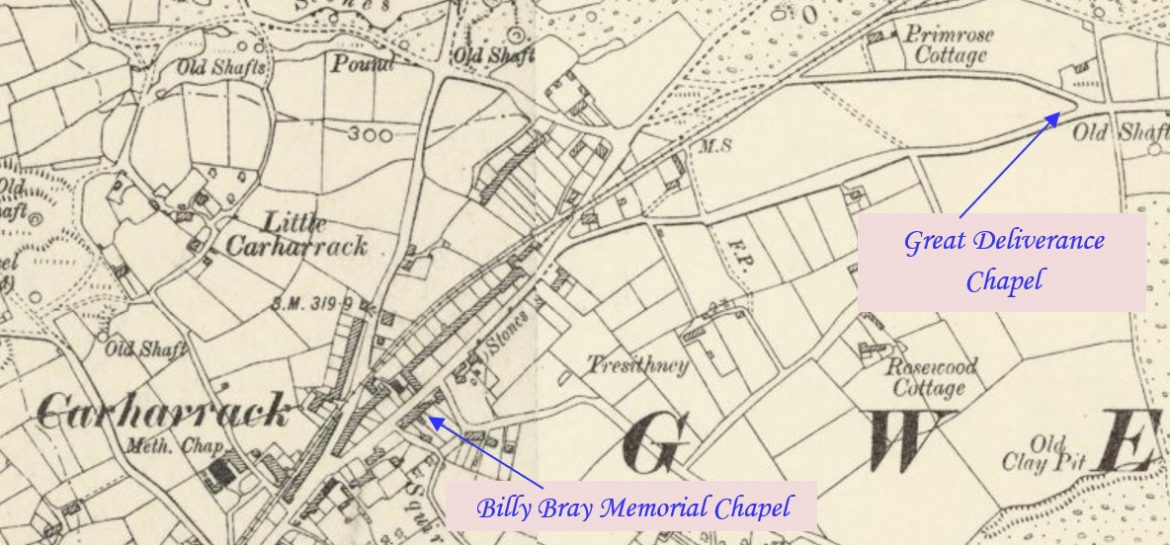
Carharrack is a village two miles east of Redruth in a former mining area. Its first Bible Christian Chapel was situated some way from the centre of the village and was later replaced by a more central place of worship. This profile has been compiled by Tony Mansell with information provided by Barrie May of…Continue Reading “Mapping Methodism – Carharrack Bible Christian Chapel”

