Mapping Methodism – Goldsithney Wesleyan Methodist Association / United Methodist Chapel
Categories Mapping Methodism, Projects0 Comments
Goldsithney is a village in west Cornwall on the B3280 at grid reference SW546306, about four miles east of Penzance and one mile east of Marazion. It is in the civil parish of Perranuthnoe and St Hilary. This profile of Goldsithney United Methodist Chapel has been compiled by Jo Lewis and Tony Mansell.
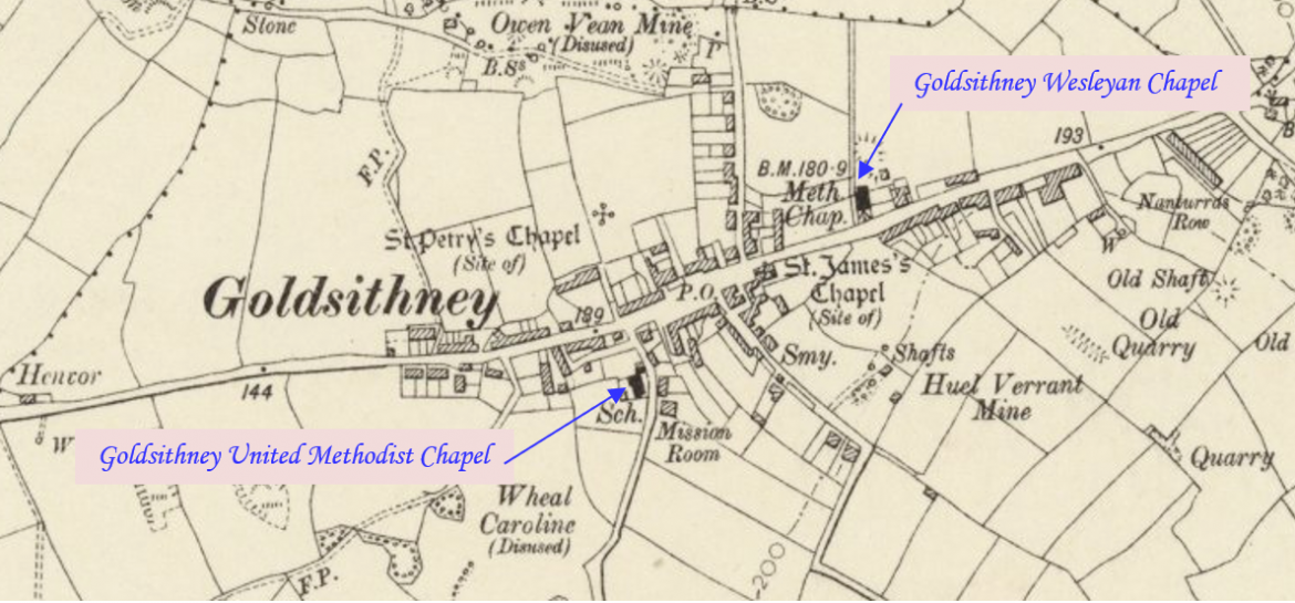
Located on South Road.
A United Methodist chapel is recorded at this location on the 1st Edition 1:2500 1880 OS Map. By 1907 the OS Map shows a school. (Cornwall Council Heritage Gateway)
Non-Conformist. The Wesleyan Methodists and Association Methodists each had a chapel in Goldsithney. (Genuki)
1857: The Wesleyan Methodist Association and the Wesleyan Reform Church amalgamated to become the United Methodist Free Churches
1857: Became a United Methodist Free Church.
1877: Marked on maps as “Methodist Chapel (United).
11 Jan 1878: Contract for sale, chapel, Goldsithney, Perranuthnoe. Parties: 1) Absalom Bennett, gentleman. 2) Perranuthnoe school board. Contract for sale 1) to 2) chapel formerly occupied by Wesleyan Methodist Association, Goldsithney. Consideration: £140. Deeds and documents related to County Council properties disposed of. Packet 170, original Clerk’s deed packet number. (Kresen Kernow CC/8/3/5/183)
1878: Wesleyan Association Chapel sold to the school board.
1907: Building appearing on maps as a school. (Cornwall Council Heritage Gateway)
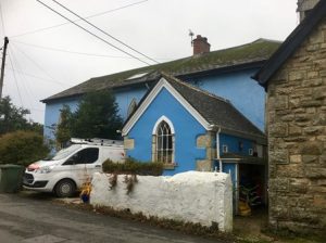
 Goldsithney United Methodist Chapel (Photo: Jo Lewis)
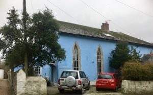
 Goldsithney United Methodist Chapel (Photo: Jo Lewis)
