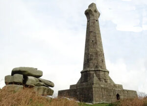
In part 2, John Dirring related how regular institutionalized banking in Cornwall began with the Miners’ Bank in Truro in 1771. He now continues with the story of the Cornish Bank, established very soon afterwards. Prominent in its earlier years was Francis Basset of Tehidy (Lord de Dunstanville), whose monument on Carn Brea (seen here)…Continue Reading “Banking in Cornwall Part 3: The early Cornish Bank, 1771-1830”
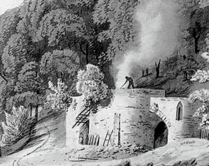
Lime kilns are an important part of our industrial history and most Cornish coastal or river communities would have had at least one with the resultant product used locally. They were mostly stone structures and their purpose was to convert limestone to quicklime, mainly for the construction and agricultural industries. It is difficult to be…Continue Reading “Cornish Lime Kilns”
(photo: Terry Harry) Botallack When you gaze out to sea at Botallack You’re transported back in time As you stand on top of the cliffside And look down on the remains of the Mine The two most iconic of buildings Are set low on the edge of the sea The Mine stretches out under…Continue Reading “Botallack – A Poem by Ruth Tremayne Harry”
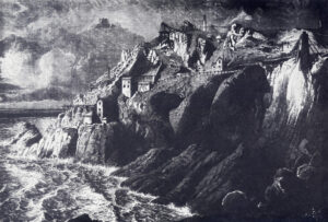
Botallack Mine – an engraving This poem is from an anonymous elderly lady down St Just way who was clearing out her late parents’ papers so it likely dates from the 19th century and, because of the use of the present tense, maybe from the time of the disaster. We are indebted to Paul Phillips…Continue Reading “Botallack Mine Disaster 18th April 1863 – A poem by Anon”
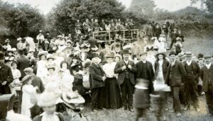
Tony Mansell is in frivolous mood as he brings us another slice of brass band history involving our hero, Billy Annear. It’s from an article from the Cornish Telegraph of the 14th of August 1913 and is very heavily garnished with Cornish dialect. You may recall The Extraordinary Band Contest, an article involving the…Continue Reading “Billy at the Band Contest”
Nearly 165 years ago, in the small village of St Ive, Cornwall, the Anglican priest Reginald Hobhouse and his wife Caroline Trelawny gave birth to a baby girl. Her name was Emily Hobhouse. In her lifetime, she would become both famous and infamous, revered by some and loathed by others. A major new historical…Continue Reading “The Story of Emily Hobhouse”

