Penhalvean is a hamlet in the civil parish of Stithians. This profile of Penhalvean Wesleyan Chapel has been compiled by Jo Lewis and Tony Mansell.
1902: “PENHALVEAN is a hamlet 1 ½ miles west from the church. Here is a Wesleyan chapel.” (Kelly’s Directory of Cornwall)
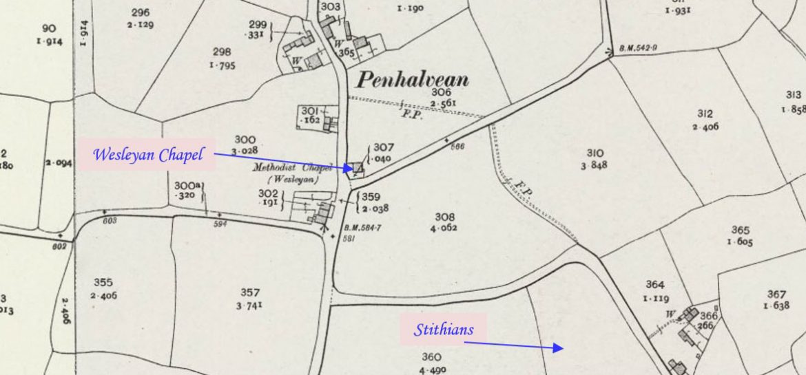
From Stithians Penmennor, travel west from Hendra Road on Tresevern Hill to Penhalveor and then north to Penhalvean. The chapel is on the right (east) side of the road before the village.
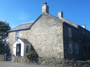
Wesleyan chapel, now converted to house. Rendered rubble walls; gable ends. Very small wayside example. (Cornwall Council Heritage Gateway)
1865: Build date. (Cornwall Council Heritage Gateway)
1880: Appears on map. (old.maps.co.uk)
Closure date unknown.
Converted to a dwelling. (Cornwall Council Heritage Gateway)
Former Wesleyan chapel at Penhalvean 2015 (Paul Barnett)