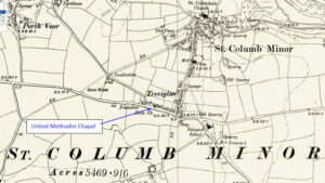
Map: https://maps.nls.uk/geo/explore/side-by-side/#zoom=10.4&lat=52.44811&lon=-3.07812&layers=6&right=ESRIWorld This profile of Treviglas United Methodist Chapel has been compiled by Jo Lewis and Tony Mansell. (Photo: Jo Lewis 2021) Treviglas lies on the east edge of Newquay, near St Columb Minor. The chapel is on the north side of Henver Road before the turn to St Columb Minor. The society was formed…Continue Reading “Mapping Methodism – Treviglas United Methodist Chapel”